We use cookies to give you the best experience on our website. If you continue to browse, then you agree to our privacy policy and cookie policy. Image for the cookie policy date

Supporting Google and ESRI tile/satellite servers

Is there support to display Google tiles as a base layer on maps? 
What about ESRI?

We support multiple providers for API calls and would like to use appropriate visual layer.

3 Replies

BP Baby Palanidurai Syncfusion Team July 10, 2019 10:21 AM UTC

Hi Ivan, 

Greetings from Syncfusion. 

We have analyzed your query. We are supporting ESRI shapefiles. But maps control won’t support the files with .shp extension directly. So, we need to convert it into geojson by using any online sites. And also, you can use the below sites to convert the shapefiles. 


Then binding the converted shape file to maps controls will render the desired maps properly. 

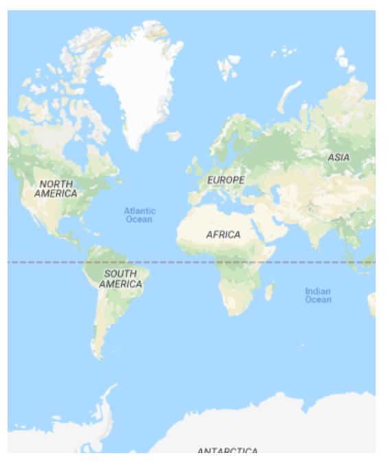
Also We support the rendering of google maps in our maps component. For this you need to specify any one of the below google maps provider URL in our maps control. 

Please find the below sample for using google maps. In the same way use can render maps of any other maps providers. 

Kindly revert us, if you have any concerns. 

Regards, 
Baby. 


ID Ivan Demkovitch July 10, 2019 02:18 PM UTC


BP Baby Palanidurai Syncfusion Team July 11, 2019 09:33 AM UTC

Hi Ivan, 

Sorry for the inconvenience caused. 

We have attached the wrong sample link. Now, we have changed the sample link. Please find the below code snippet to achieve this requirement, 
<ejs-maps id='container' style="display:block;"> 
          <e-layers> 
            <e-layer layerType="OSM" urlTemplate="https://mt1.google.com/vt/lyrs=m@129&hl=en&x=tileX&y=tileY&z=level"></e-layer> 
          </e-layers> 
        </ejs-maps> 

Screenshot: 
 

Kindly revert us, if you have any concerns. 

Regards, 
Baby. 


Loader.
Live Chat Icon For mobile
Up arrow icon